Airborne Laser Scanning (ALS)
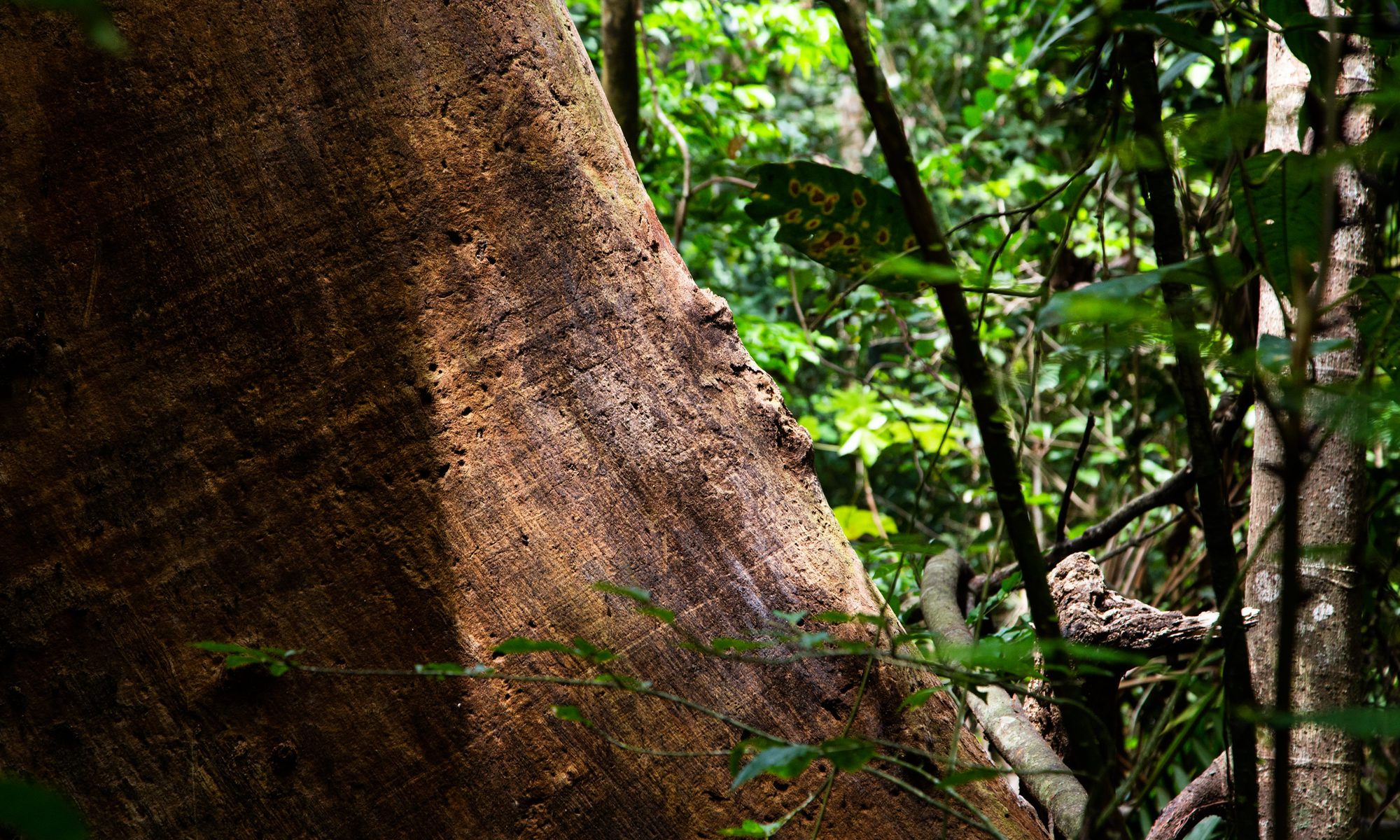
Small-footprint airborne LiDAR, or Airborne Laser Scanning (ALS), data provides detailed information about forest vertical structure and ground topography. This data is extensively utilized for estimating canopy height, forest above-ground biomass density, leaf area indices, and for calibrating and validating satellite remote sensing products. The 2023 data collection campaign encompassed 3825.24 hectares across 11 areas, including high-lidar data (20.31 shots per square meter) and RGB orthophotos (6 cm resolution). LiDAR data was collected using an IGI LiteMapper 6800i, incorporating a Riegl LMS680 full waveform sensor, while RGB imagery was captured with a Nikon D800E SLR camera.
The covered area included the entirety of Barro Colorado Island (1,542 ha), all 700 ha of the Panama Canal Watershed Project at Agua Salud, sections of the Gigante peninsula of the Barro Colorado Nature Monument, including long-term factorial nutrient addition experiment sites and experimental liana removal plots. Other significant areas included the San Lorenzo canopy crane site and the San Lorenzo ForestGEO plot, the Parque Metropolitano canopy crane site, the Limbo bird plot on Pipeline Road (Camino Oleoducto) in Parque Nacional Soberanía, and other areas in and around annually measured Smithsonian ForestGEO 1-ha plots (Panama Small Plots) including P05, P06, P07, P09, P12, P14, P15, P16, elcharco, fincaroubik, metrop, panamapacifico, soberania, San Lorenzo, Santa Rita, Parque Natural Metropolitano, and Parque Nacional Soberanía. These sites contain established plots for observing forest diversity, secondary forest regrowth, lianas, and other ecological variables.
Cite this dataset
ForestGEO Smithsonian. (2024). 2023 high-resolution airborne LiDAR data for Barro Colorado Island and other Smithsonian ForestGEO Sites in Central Panama. Smithsonian Research Data Repository. doi:10.60635/C34W2W.


Hyperspectral Reflectance Data for Flowers, Fruits, Bark, and Leaves of Plants on Barro Colorado Island, Panama
This dataset contains hyperspectral reflectance measured on flowers, fruits, bark, and leaves of plants collected on Barro Colorado Island (BCI), Panama. Samples were collected mostly from fallen material on the forest floor or from understory plants. Samples were placed in individual zipper storage bags in a cooler with ice for transport back to the lab, where hyperspectral reflectance was measured using an ASD FieldSpec 4 Standard Resolution spectrometer. This initial data release contains data for samples collected between 2024/03/28 and 2024/11/29, and encompasses a total of 445 samples of 151 species. This includes 1 seed sample of 1 species, 173 flower samples of 78 species, 158 fruit samples of 77 species, 23 bark samples of 22 species, and 90 leaf samples of 40 species. Data collection is ongoing and this dataset will be expanded in future releases. The goal of this project is to contribute to the basis for automated species identification of woody plants in diverse tropical forests using hyperspectral imaging.
Cite this dataset
Daria Lipsky, Lily Pitcher, Juan Camilo Osorio-Ospina, & Helene C Muller-Landau. (2024). Hyperspectral Reflectance Data for Flowers, Fruits, Bark, and Leaves of Plants on Barro Colorado Island, Panama. Smithsonian Research Data Repository. urn:uuid:74ffa00e-6a80-45ac-af1c-e2d725694f0a.
